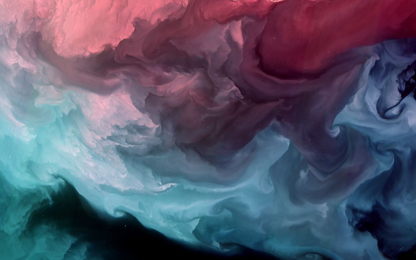
Gulf of Mexico, United States
Five of the fifty American states touch the Gulf of Mexico. The largest single source of sediment entering the Gulf is the Mississippi River Delta, which disperses fine silt and clay into the Gulf near New Orleans. This image is located west of the River's mouth, along the southern coast of Louisiana. The source of sediment in this image, however, seems to be the Atchafalaya River and Vermillion Bay farther to the west of the image. The colors record the complex interplay between the contentration and surface-proximity of suspended sediment and organic material. Areas that are red or pink generally have high concentrations of sediment near the surface. Toward the bottom of the image, sediment lenses are deeper and less concentrated. The black areas have very low sediment concentrations and are likely pockets of mobilized offshore or upwelling Gulf water. The small white dots throughout the image are mostly ships and offshore hydrocarbon platforms.
ID: LC80220402016073LGN00
Bands: 4-1-2
